The transatlantic EarthServer initiative has established spatio-temporal analytics on massive sensor, image, simulation, and statistics data cubes. The unifying paradigm is the OGC coverage concept encompassing regular and irregular grids (yeah, we do that for breakfast), point clouds (have looked into this) and general meshes (still working on that). Based on the rasdaman Array Analytics engine (see the afternoon tutorial for a technical introduction), EarthServer completely relies on the open OGC standards WMS and, in particular, the OGC Big Data standards WCS and WCPS.
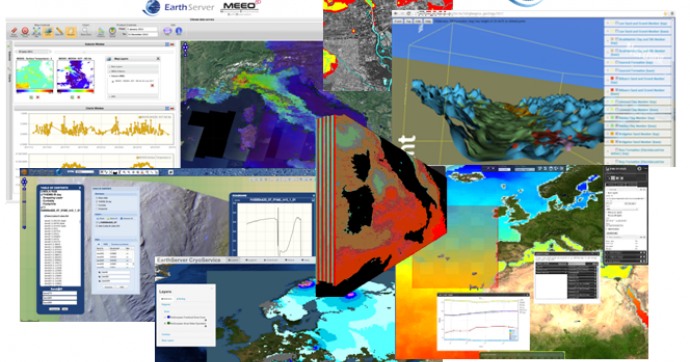
This workshop first introduces the OGC coverage, WCS, and WCPS standards. Based on that, key technology components are discussed. A large part of the workshop will be comprised by real-live demos of large-scale EarthServer deployments serving out satellite imagery, time series, ocean, data, and geology data.
Here is the detailed program:
- Welcome (5')
- Technical presentations (60')
- Break (10’)
- Service demonstrations (60')
- Geology Service demo [James Passmore, BGS]
- Planetary Service demo [Angelo Pio Rossi, JUB]
- Atmospheric Service demo [Piero Campalani, JUB on behalf of MEEO]
- Mobile clients demo [x, COMETA]
- Open discussion (20’)
- Wrap-up (10’)